Hiking Within Patagonia
The Nature Conservancy’s Patagonia-Sonoita Creek Preserve
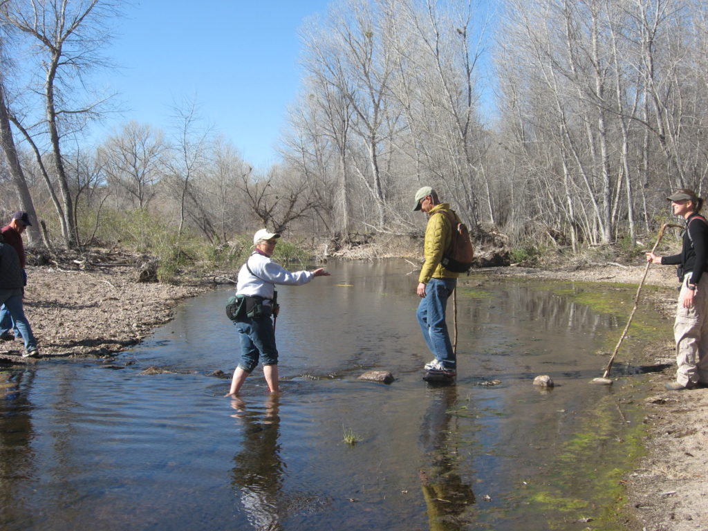
Patagonia-Sonoita Creek Preserve – 150 Blue Heaven Rd., Patagonia, AZ 85624. 2-3 miles of trails that follow Sonoita Creek or the old New Mexico-Arizona Railroad bed. Enjoy walking through a cienega (wetland) with spring blooming Yerba Mansa and mint as well as a mesquite bosque or a cottonwood forest. Fairly easy walking and many choices of hiking distances.
Geoffrey Platts Trail – This is a 3.5 mile loop with a side trip to a lookout or you can walk from the Audubon’s Paton Center for Hummingbirds to the Patagonia-Sonoita Creek Preserve’s north green gate entrance (approx. a mile). Parking is at Patons or .65 miles down Blue Heaven Rd (across from green gate at trail head). This is an upland trail with great views from top of the trail. There is little shade so this trail is best done in the winter. Horses and bicycles are not allowed. Open sunrise to sunset.
Patagonia Train Track Trail
Wind your way east of town along Sonoita Creek, bordering the Cienega of Sacaton grass. Patagonia was once a swampy area covered in this unique habitat type. Find the trailhead near City Hall on 3rd Ave. You’ll see a map next to the old Patagonia Train Station. Walk east on the south (sidewalk) side of Hwy 82, cross the bridge and find the path to the trail on your right.
The path is good for walking, trail bikes, leashed dogs, and equestrians. Several gates require dismounting from horses. Nice views of open space, level terrain and proximity to civilization make it a great choice for a moonlight hike. Approx. 2.5 miles round trip.
Hiking Outside Patagonia
Borderlands Wildlife Preserve is located 2.5 miles north of Patagonia and on the west side of SR 82, between mile marker 22-23 (across from Sonoita Springs Ranch). Turn onto Tanglehead Land at the Wildlife Corridor sign to enter preserve. See → BorderlandsRestoration.org for more information and trail map.
Sonoita Creek State Natural Area, 3-10 miles of trails. See → Sonoita Creek State Natural Area at Patagonia Lake State Park, Entrance to state park 7 miles south of Patagonia.
The Arizona Trail sections 3 & 4 are in the Sonoita Creek Watershed. See → AZTrail.org for more information.
Section 3, Canelo Hills West/Canelo Pass-to-Patagonia. Rolling grass-covered hills, and breathtaking views of the watershed. Trailhead 3 miles south of town off Harshaw Road, look for the hiker sign and a parking area on the right. See → aztrail.org/passages/pass_03.html for more information & maps.
Section 4, Temporal Gulch, Patagonia-to-Gardner Canyon Road. Get intimate with the Madera Pine-Oak woodlands of the Sky Island region. This vegetation type extends into the Sierra Madre, is unique in Southern Arizona, and supports biological diversity. The drive to the trailhead requires high-clearance vehicles, but there is a parking area off the more maintained road, for a walk up Temporal Gulch, full of diversity & intermittent pools of water.
See → aztrail.org/passages/pass_04.html for more information & maps.

